Remotely operated vehicles are helping aquaculture gain a deeper understanding of the seabed
Underwater 3D imaging could help seafood producers map out and monitor complex marine environments and habitats
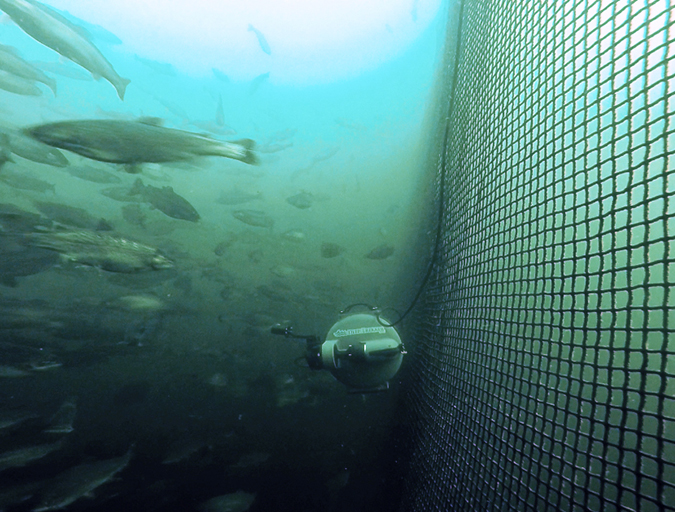
Tritonia Scientific, an Oban-based company that provides commercial and scientific diving, ROV and drone services, is testing the effectiveness of using remotely operated vehicles (ROVs) to create digital twins of the seabed.
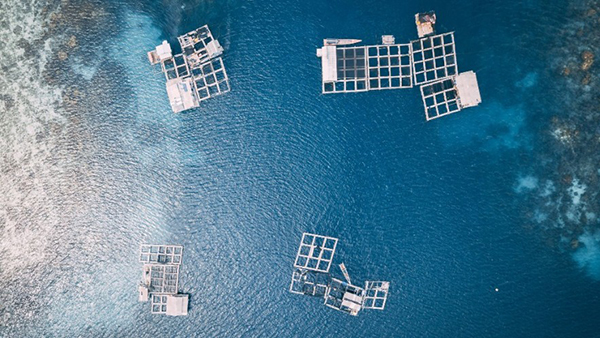
With support from the Lyell Centre at Heriot-Watt University, farmed salmon company Mowi, and the Sustainable Aquaculture Innovation Centre (SAIC), the trial of this first-of-its-kind underwater imaging technology system could lead to 3D digital models being used by Scottish seafood producers to map out and monitor complex marine environments and habitats.
“Using imaging technology could help the aquaculture sector to gain a much more detailed, accurate picture of the complex seabeds they are operating beside or above,” said Martin Sayer, managing director of Tritonia Scientific. “Our hope is that the system could ultimately support regulation and environmental monitoring in ways that would provide the levels of evidence that would be necessary for future sustainable operations.”
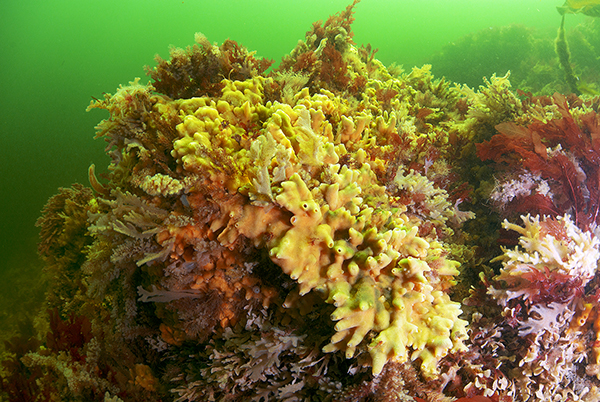
The new system will use underwater ROVs linked to above-water GPS technology and acoustic transponders to capture digital images of the seabed to assess current and future finfish farms, as well as to identify the presence of priority marine features – nationally protected habitats and essential underwater ecosystems for Scotland’s coastal seas. Using the images, Tritonia will create an accurate 3D model that can show various physical characteristics and be used alongside advanced comparison software to monitor changes on the seabed.
![Ad for [membership]](https://www.globalseafood.org/wp-content/uploads/2025/07/membership_web2025_1050x125.gif)
“At the moment, divers face a range of challenges in terms of visibility and climate, particularly if algal blooms are present, but the digital twin allows us to essentially remove the surrounding water at the click of a button, using images captured by an ROV,” said Sayer. “Just one survey can generate a 3D model that provides a permanent record of the seabed terrain at a fixed point in time, which could be used for comparisons for years to come.”
From a single ROV dive, a wealth of data and images can be captured to provide producers with accurate information to aid decision-making, such as the volume and area of specific geographical features. Information can also be used to detect protected habitats such as maerl beds – formed of red coralline algae – that, while difficult to map, is an important consideration for decisions about potential fish farm locations.
“Technology is becoming increasingly important for the aquaculture sector and collaborative research projects and trials can be an incredibly valuable demonstration of the real-world applications of new data-led techniques,” said Heather Jones, CEO of SAIC. “In this case, we could see ROVs and imaging technology playing a vital role in monitoring the sector’s environmental impact and increasing its economic impact by supporting future decisions about farm locations and possible expansion.”
Tritonia currently employs 3D photogrammetry to survey and monitor marine renewable installations, piers and harbours, and to inform decommissioning programs in the oil and gas sector, but this project represents the company’s first breakthrough into aquaculture. The technology could present significant opportunities for companies in the sector to obtain accurate, digital records of the seabed below and close to their operations.
“Coastal habitats are some of the most physically and biologically diverse ecosystems on our planet,” said Dr. Heidi Burdett, associate professor at the Lyell Centre. “Monitoring the effect of coastal industry and human activity on these habitats is crucial for understanding how best to protect them, but it remains logistically difficult. This project will allow us to overcome this using a scalable and flexible approach that brings the seabed into a virtual laboratory.”
Follow the Advocate on Twitter @GSA_Advocate
Now that you've reached the end of the article ...
… please consider supporting GSA’s mission to advance responsible seafood practices through education, advocacy and third-party assurances. The Advocate aims to document the evolution of responsible seafood practices and share the expansive knowledge of our vast network of contributors.
By becoming a Global Seafood Alliance member, you’re ensuring that all of the pre-competitive work we do through member benefits, resources and events can continue. Individual membership costs just $50 a year.
Not a GSA member? Join us.
Author
Related Posts
Innovation & Investment
Rise of the machines: Aquaculture’s robotic revolution
Technological advances are revolutionizing aquaculture. From airborne inspection tools to underwater drones, innovative robotics and automation technology are unveiling a brave new world of futuristic farming.
Fisheries
Make seafood production and processing more responsive and responsible? Sounds like a job for AI
Environmental reporting and quality control are two additional areas in which artificial intelligence can boost seafood producers' performance.
Intelligence
New ‘plug-and-play’ digital aquaculture system promises semi-autonomous operation
Researchers have designed a low-cost sensor system to help aquaculture producers digitalize operations without complex technical expertise.
Fisheries
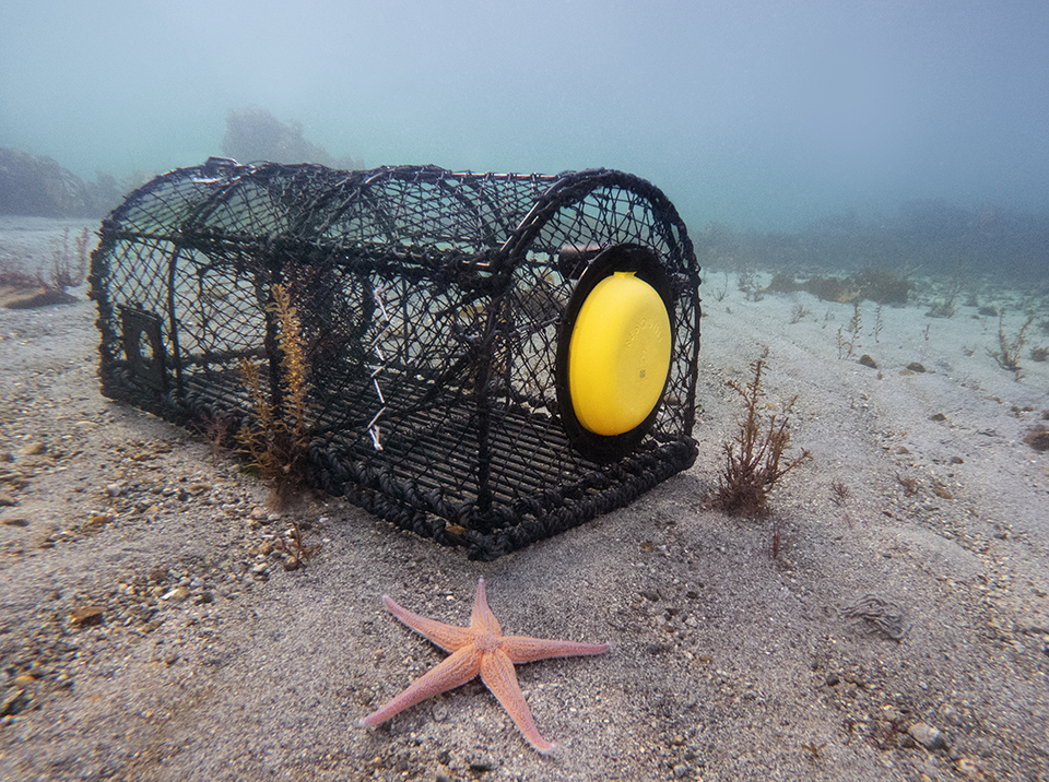
From reporting apps to floating traps: How technology tackles ghost fishing
The global ghost fishing problem has negative environmental and economic impacts, but new technology could help locate and retrieve lost fishing gear.