


From space to shellfish: How satellites are mapping Maine’s oyster farming future

Oyster farming in Maine is getting smarter as University of Maine researchers use satellite data to predict growth and improve site selection
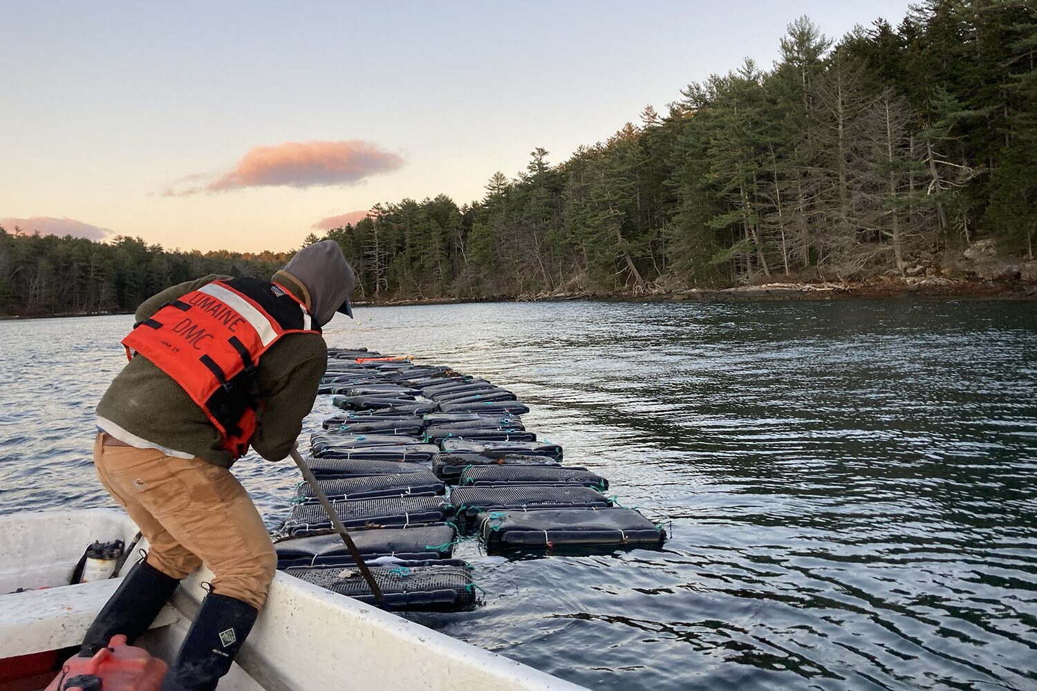
Along the coast of the U.S. state of Maine, oysters develop their unique flavor and texture by feeding on microscopic algae and plankton in the waters where they grow. Because they filter nutrients directly from their environment, even slight changes in water conditions can influence their growth and taste. Factors such as depth, temperature and currents can vary significantly, creating noticeable differences among oysters from nearby locations.
These variations have become a focus for researchers at the University of Maine, who are exploring how new tools, such as satellite data, could support the state’s growing blue economy. Led by scientists Thomas Kiffney and Damian Brady, the team is showing how satellite data on areas such as water temperature and plankton levels can help predict how quickly eastern oysters (Crassostrea virginica) reach market size.
“Maine has a long, jagged, glaciated coastline with many narrow estuaries, bays and islands that support shellfish farming,” Kiffney told the Advocate. “But these areas differ in watershed size, water residence time and their connection to currents in the Gulf of Maine, which creates big variations in temperature and food availability. As the oyster industry has grown and expanded over the years, so too has the need for more detailed environmental data. We are using remote sensing to generate spatially explicit data and translate it into useful metrics for oyster farmers.”
Kiffney, Brady and their colleagues have created an online tool called a dynamic energy budget model that lets oyster farmers select a coastal location and receive an estimate on how long oysters will take to reach market size. The model combines satellite data from Landsat 8 and 9 – the joint NASA and U.S Geological Survey mission – and the European Sentinel-2 satellite.
![Ad for [BSP]](https://www.globalseafood.org/wp-content/uploads/2025/07/BSP_B2B_2025_1050x125.jpg)
Using 10 years of Landsat data (2013–2023), the team mapped average coastal temperature patterns, while Sentinel-2 data provided estimates of chlorophyll and organic matter concentrations. The team also validated the model using seven years of field data.
“Landsat 8 and 9 have been providing data since the mid 1980s, and their high resolution makes them particularly suitable for oyster farming,” said Kiffney. “With resolutions of around 98 to 328 feet (30 to 100 meters) from ocean color to temperature, they can detect very subtle temperature differences between different areas, allowing us to gather data from many nearshore sites where aquaculture occurs. At 98 feet, for example, we can get data from around 85 percent of U.S. estuaries.”
The team processed the data using algorithms and atmospheric corrections before comparing the results with in-water sensor data on turbidity, chlorophyll and temperature at selected coastal sites. Next, they validated their model by compiling data from the literature with their own growth studies, resulting in eight shell growth datasets and six meat-weight datasets collected over multiple years.
Environmental data from water samples and farm sensors allowed both satellite and in situ data to be used and analyzed. The model was first tested against in situ data and validated again with satellite-derived data to confirm that it produced consistent results.
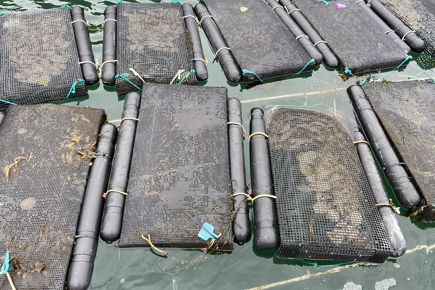
The team successfully predicted oyster growth, largely due to the model successfully capturing relevant environment data. Sea surface temperature data came from Landsat 8 and 9, while suspended particulate matter and chlorophyll were measured using European Sentinel-2. Sea surface temperature predictions closely matched satellite observations, said Kiffney, while suspended particulate matter was also captured accurately. Chlorophyll, however, was less precise, highlighting an area the team aims to improve.
“One of the biggest benefits of this work is site selection,” said Kiffney. “It shows farmers how a site changes over time and lets them compare multiple locations simultaneously – something that’s hard to do manually. Beyond site selection, satellite data can track harmful algal blooms, heat waves and seasonal trends, helping farmers understand past conditions, anticipate future ones and compare different years. These insights can help reduce financial risks by highlighting potential growth or mortality differences between sites.”
The team’s work is becoming increasingly valuable as Maine’s oyster industry has expanded rapidly. Its value has risen 78 percent, from around U.S. $2.5 million to more than $10 million. As the sector grows, detailed knowledge of Maine’s coastal conditions is essential.
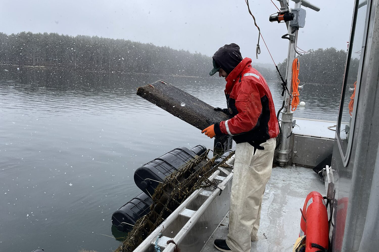
Meanwhile, thanks to Maine’s diverse blue economy, these insights can also benefit more than just oyster farms.
“Coastal communities care about environmental data and water quality, and satellite data can be used to look at potential restoration areas for eelgrass, kelp or shellfish,” said Kiffney. “They can also monitor turbidity plumes from storms or inform wild fisheries, such as clam harvesters.”
One challenge for satellites is cloud cover, which is frequent in Maine and can leave months without usable data, even with two satellites in operation. Additionally, these satellites were designed mainly for land, while coastal environments change rapidly, making short-term, single-year analysis difficult.
How the next generation diagnostic tools are improving early detection of disease in aquaculture
To overcome this, the team uses long-term satellite records spanning 10 to 20 years. For temperature, 10 years of observations are combined to create a climatology that captures typical seasonal patterns for each pixel, allowing the data to drive oyster growth models.
Temperature data are also easier to collect than biological variables such as algae production. The satellites carry a line of sensors that observe different coastal swaths, said Kiffney, but slight calibration differences can create artefacts in the data. The team is now focused on developing methods to remove and smooth out some of those artefacts, with the goal of improving overall data quality.
Hopes are high that this work can extend beyond oysters, for example to explore new species, said Kiffney. In Maine, producers are interested in diversifying beyond established species such as oysters, and tools that link species to suitable environments are increasingly valuable. Satellite data can help farmers and researchers identify locations where new species are most likely to thrive, enabling the exploration of a wider range of aquaculture opportunities.
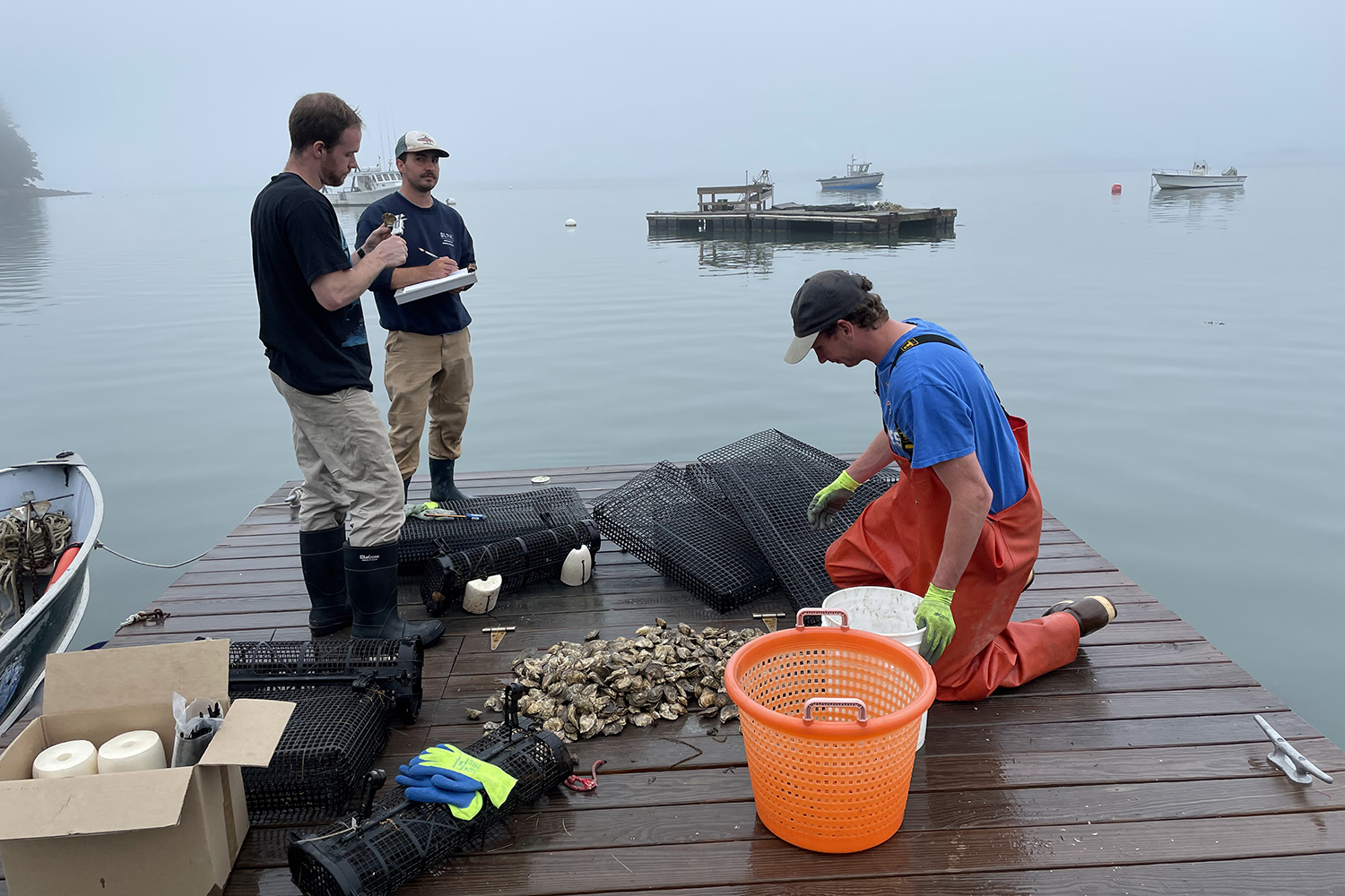
“Overall, the response to our work has been positive – farmers in Maine really seem to love data,” said Kiffney. “We’re piloting a project with the Maine Aquaculture Innovation Center to place sensors on farms, giving farmers access to their own data while sharing it through dashboards. This lets farmers use high-frequency sensor data and helps us validate and improve satellite data for others without farms. Aquaculture is growing and integrating satellite data offers a new way to work on the water. It’s pretty exciting.”
The next step is to transform this detailed view of coastal conditions into practical forecasts, giving farmers actionable insights to replace some of the ocean’s uncertainty with reliable data.
“Adding certain spectral bands and sensor capabilities could make satellites more useful for coastal waters,” said Kiffney. “A key goal is improving farm level data and accessibility by working with farmers to understand how they’d use the data and how they would like it delivered, so that we can design tools that better meet their needs.”
Now that you've reached the end of the article ...
… please consider supporting GSA’s mission to advance responsible seafood practices through education, advocacy and third-party assurances. The Advocate aims to document the evolution of responsible seafood practices and share the expansive knowledge of our vast network of contributors.
By becoming a Global Seafood Alliance member, you’re ensuring that all of the pre-competitive work we do through member benefits, resources and events can continue. Individual membership costs just $50 a year.
Not a GSA member? Join us.
Author
-

Senior Writer Bonnie Waycott became interested in marine life after learning to snorkel on the Sea of Japan coast near her mother’s hometown. She specializes in aquaculture and fisheries with a particular focus on Japan, and has a keen interest in Tohoku’s aquaculture recovery following the 2011 Great East Japan Earthquake and Tsunami.
Related Posts
Responsibility
Mapping seafood workforce’s hidden gender gap: The challenge that ‘isn’t always visible’
A Maine researcher finds that a seafood industry workforce data gender gap leaves many women’s contributions uncounted.
Intelligence
ID check: Rapid DNA testing is altering the frontline war on seafood fraud
New technology makes it possible to verify a fish species in just minutes, potentially transforming conservation, trade and consumer confidence.
Intelligence
New seaweed farming economics: Insights tool may help pave the way to larger-scale and lower-cost production
Seaweed farming could enter a new era of efficiency as Maine researchers unveil an analytic tool designed to help farmers boost profitability.
Innovation & Investment
How technology is improving seafood quality and consumer satisfaction
Freshness monitoring, seafood traceability and animal welfare and sorting are all benefiting from advancements in technology like AI.