Fisheries
Estimating surface copepod concentrations using satellite imagery
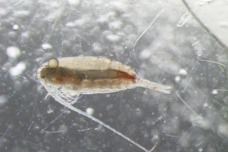
This study estimated surface concentrations of the copepod Calanus finmarchicus using standardized satellite-derived enhanced RGB imagery.
Fisheries
Monitoring marine habitats like submerged vegetation can complement long-term fishery data collection and coastal management.
Fisheries
This study estimated surface concentrations of the copepod Calanus finmarchicus using standardized satellite-derived enhanced RGB imagery.