Fisheries
Methods for quantifying gear density for fixed-gear commercial fisheries in the U.S. Atlantic
Demonstrating the use of the Fixed-Gear Fishery Layer for two marine spatial planning projects focused on conservation and wind energy.
Intelligence
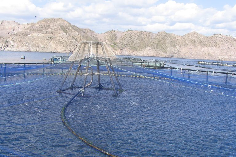
GIS-based carrying-capacity evaluations can be dynamic decision-support tools providing insights for aquaculture spatial planning and management.
Fisheries
Demonstrating the use of the Fixed-Gear Fishery Layer for two marine spatial planning projects focused on conservation and wind energy.