Intelligence
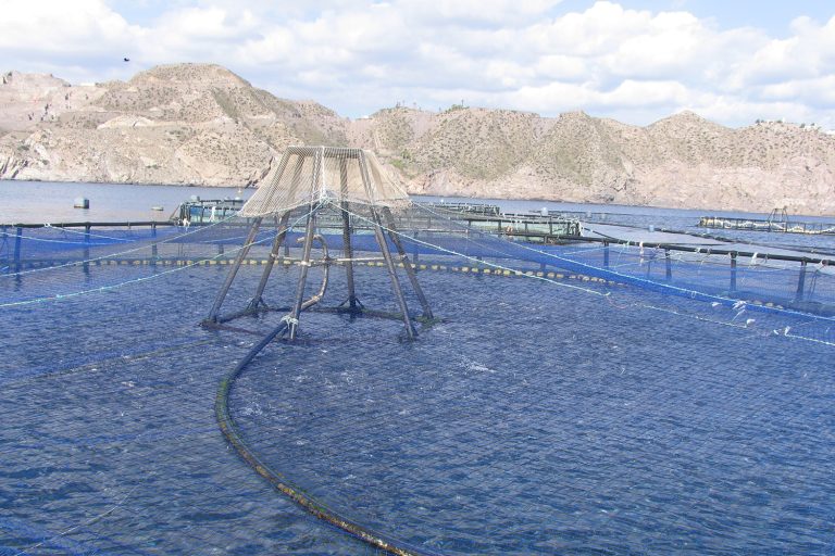
Can GIS-based proxy models estimate aquaculture production capacity?
GIS-based carrying-capacity evaluations can be dynamic decision-support tools providing insights for aquaculture spatial planning and management.
Intelligence
Las evaluaciones de la capacidad de carga basadas en SIG pueden ser herramientas dinámicas de apoyo a la toma de decisiones que proporcionan información para la planificación y gestión espacial de la acuicultura.
Intelligence
GIS-based carrying-capacity evaluations can be dynamic decision-support tools providing insights for aquaculture spatial planning and management.
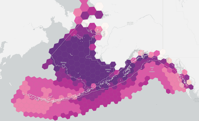
Fisheries
An open data platform may make ocean data accessible and actionable through location analytics, digital maps, dashboards and web portals.
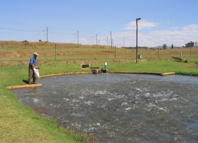
Responsibility
An assessment for aquaculture development in South Africa identified nine freshwater areas and eight marine areas, representing all nine provinces. These areas will be studied to provide guidance for government to enable responsible, integrated and streamlined decision-making.