Health & Welfare
Ecuador develops GIS-assisted alert system for shrimp farming
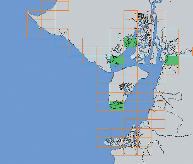
Geographic information systems provide analysis of spatial and temporal datasets in a cartographic form and allow database query and modeling at the same time.
Health & Welfare
Geographic information systems provide analysis of spatial and temporal datasets in a cartographic form and allow database query and modeling at the same time.