By casting light on vessels that disable their tracking devices, emerging technologies are aiding the war on IUU fishing
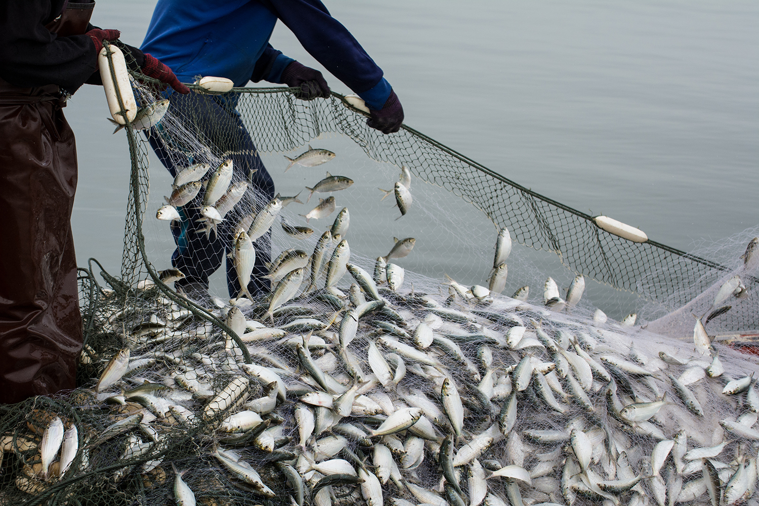
Responsible for as much as (U.S.) $25 billion in annual losses and accounting for one of every five fish that’s caught globally, IUU fishing (illegal, unreported and unregulated) is rightly regarded as one of the most significant threats facing marine ecosystems and economies of coastal communities around the world, particularly those of developing nations.
However, there are signs that things are moving in the right direction. Recently, the Food and Agriculture Organization of the United Nations (FAO) declared that a new milestone in the war on IUU fishing had been reached with the United Nations body advising that 100 states have now signed up to the Port State Measures Agreement (PSMA), the only internationally binding instrument specifically designed to prevent, deter and eliminate IUU fishing by denying port access to foreign vessels that engage in or support such practices.
With Angola, Eritrea, Morocco and Nigeria being the latest countries to back the agreement, some 60 percent of port states globally are now on board.
Acknowledging this progress and the fact that rising consumer demand and transforming agri-food systems in fisheries and aquaculture have driven global fish production to its highest levels, FAO Director-General Qu Dongyu said there’s “broad recognition of the need to step up the fight against IUU fishing.”
In this regard, one of the main sources of interest and curiosity is the automatic identification system (AIS), or to be more specific, the switching off of these devices and the activities that may or not be taking place during these events.
Originally designed as a collision avoidance tool, AIS is a system through which fishing vessels broadcast their GPS location and, as a result, AIS-disabling is a way to hide their location. Because AIS devices are not universally mandated, and vessels are not required to always have them turned on, sometimes the disabling is unintentional, and sometimes it isn’t. And when it is, sometimes it can be for legitimate reasons or to mask illegal actions.
Regions of concern
To cast greater light on why and where fishing vessels’ AIS devices are being switched off, a new analysis entitled “Hot Spots of Unseen Fishing Vessels” has presented the first global dataset of AIS disabling in commercial fisheries. This research utilized a machine learning method developed by Global Fishing Watch that’s capable of distinguishing intentional AIS disabling from gaps in satellite coverage and other technical issues.
Hot Spots co-author and Global Fishing Watch data scientist Tyler Clavelle told the Advocate that the report pinpointed two key sets of results: Firstly, it ascertained the number of disabling events and where these occur; and then it established the causes of these occurrences.
The study’s researchers found more than 55,000 suspected disabling events from 2017 to 2019. Collectively, these obscured nearly 5 million hours of fishing vessel activity. It was also observed that four geographical locations – or hot spots – accounted for more than 40 percent of these hours. Moreover, three of these locations are regarded as areas of concern for illegal fishing: the Northwest Pacific, and areas adjacent to the exclusive economic zones (EEZs) of Argentina and West Africa.
“We were a bit surprised by how concentrated these were in certain areas,” said Clavelle. “In some, there’s a lot of activity in a small space, where in other areas like West Africa, there’s a lot of it, but it’s well spread out.”
The fourth disabling hot spot was caused by U.S. trawlers disabling in waters off the coast of Alaska, regarded as one of the most intensely managed fishing grounds in the world.
Reasons to hide
Essentially, there are two main categories of drivers of AIS disabling identified in the analysis – environmental and behavioral/jurisdictional – and both may be driving intentional disabling.
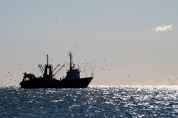
Clavelle explained that the environmental drivers were used as a proxy for quality fishing grounds, potentially signaling when vessels are wittingly disabling to hide fishing activity. The behavioral drivers are meant to identify if vessels are disabling for reasons other than simply hiding fishing activity, such as to operate in an area or way they are not authorized to.
In fact, four primary reasons for deliberate AIS disabling are identified in the study. While some takes place to hide the locations of good fishing grounds from competitors, and to protect vessels and crews from potential piracy, they are also common in areas with high transshipment activity. Transshipping is a practice whereby vessels transfer their catches to refrigerated ships in order to quickly resume fishing.
But the analysis also finds that in many cases, disabling events take place as vessels approach EEZs. While it’s very possible that some of the vessels have access agreements with those countries, these agreements are often not public and this lack of transparency is a challenge to fisheries management.
At the same time, it’s known that transshipments can also be used to obscure illegal fishing activities. It also provides the sort of environment in which forced labor and other crew abuses can take place.
“Hiding or protecting a fishing ground from competitors is a valid reason to not want to be tracked, but when you see evidence that some may be hiding their location – to avoid detection in areas that they’re not supposed to be in, or prior to events that they’re not authorized to do, that’s more cause for suspicion,” Clavelle said. “Also, as we state in the paper, the act of AIS disabling doesn’t directly imply IUU behavior, but it’s a time period that should be investigated more closely.”
Indeed, the research suggests that knowing when movements are being intentionally hidden and having a better understanding of where vessels may hide their position allows authorities to deploy valuable on-the-water resources more strategically.
The report advises, “such prediction systems could be used to position at-sea or airborne enforcement and surveillance or applied in conjunction with information on risky ports to guide and focus IUU inspections required by the Port State Measures Agreement.”
Closer scrutiny
Aligned with the research, Global Fishing Watch has other products and public tools in development that are designed to support port states and other stakeholders in investigating fishing vessels. One of these, “Vessel Viewer,” which is currently in prototype and being piloted by several countries (with more trialing in 2023), has been designed explicitly for port inspectors. It allows them to look up a vessel to see all its activities over a recent timeline, with disabling events being one of the key elements.
“So, when a vessel comes into port, an inspector can look it up in the system and see, for instance, that it had a disabling event that occurred just outside the EEZ that lasted for 12 hours. They can then ask for an explanation of what the vessel was doing during that time period,” Clavelle said. “This is something that’s been asked for. People have a lot of interest in wanting to know and understand why vessels are turning off their AIS.”
Global Fishing Watch has also been using its AIS disabling information and other data to support patrol planning, including establishing the areas and vessels of the most interest. The United States Coastguard is among those to have used this facility, and this has led to higher numbers of boardings and violations discovered.
But while Global Fishing Watch’s focus has been on pursuing vessel detection and behavior from an AIS perspective, it is increasingly moving toward the utilization of satellite imagery, with Clavelle believing these data sources and methods will get easier and more complete over time as both satellite coverage and computing power increase.
He also thinks artificial intelligence (AI) will prove to be a great help to the electronic monitoring of vessels: “Currently, having onboard observers in fisheries is very expensive and can only cover a small fraction of the fleet. While our data model offers more insight, there’s a push for increasing electronic monitoring onboard vessels. That will generate a ton of data – too much for humans to sift manually and so there will be a big area or big data and AI to support the efficient use of electronic monitoring to detect anomalies and potential violations.”
Most bad actors are sophisticated and understand that as soon as they turn off their AIS for an extended period, they paint a huge target on the side of their ship. So, they prefer to hide in plain sight with advanced tactics.
Multi-source solution
Maritime AI company Windward also believes that emerging technology could be increasingly used to combat unscrupulous fishing operations. In May of this year, the company expanded its own insights to include the rising geopolitical and economic risks of IUU fishing.
Matan Peled, co-founder and head of U.S. business at Windward, explained that the company had racked up decades of maritime experience and high levels of expertise in AI and machine learning before seeing the opportunity to bring visibility to “the increasingly important issue” of IUU fishing.
“While the threat of IUU fishing has been around for many years, recently there has been a troubling increase in the volume of such operations, global expansion to new areas, and rising use of deceptive shipping practices to conceal any IUU fishing operations,” he told Advocate.
Also, the methods that operators are using to conceal their illegal activities have drastically evolved in the last couple of years, he said.
“Most bad actors are sophisticated and understand that as soon as they turn off their AIS for an extended period, they paint a huge target on the side of their ship. So, they prefer to hide in plain sight with advanced tactics.”
While government agencies and private companies can benefit from remote-sensor satellite technology to shed light on operations at sea, detect vessels and search for suspicious maritime activities in near or distant waters, Peled maintains that “no one approach or technology can serve as a single source of truth and capture the full picture of what is happening with a holistic view of the risk involved.”
The problem is there’s only a limited number of sensors – certainly not enough to cover all oceans, he said, also highlighting that the sensors that do exist have specific revisiting times for each area, meaning even covered areas are not encompassed 24 hours a day.
“So, by default, you are looking backward at the area you are investigating with no real-time context,” said Peled, who reckons these limitations mean that optical satellites and other technologies are great research tools, but not optimal as maritime domain awareness (MDA) solutions.
Instead, he believes that maritime AI is the foundation for any future effective solution.
“A multi-source approach combining both predictive intelligence and satellite technology can transform a sea of raw data into actionable insights and enable true tipping and queuing so that stakeholders can detect, identify and monitor vessels in real-time, within any area of interest,” he said.
Follow the Advocate on Twitter @GSA_Advocate
Now that you've reached the end of the article ...
… please consider supporting GSA’s mission to advance responsible seafood practices through education, advocacy and third-party assurances. The Advocate aims to document the evolution of responsible seafood practices and share the expansive knowledge of our vast network of contributors.
By becoming a Global Seafood Alliance member, you’re ensuring that all of the pre-competitive work we do through member benefits, resources and events can continue. Individual membership costs just $50 a year.
Not a GSA member? Join us.
Author
-

Jason Holland
Jason Holland is a London-based writer for the international seafood, aquaculture and fisheries sectors. Jason has accrued more than 25 years’ experience as a B2B journalist, editor and communications consultant – a career that has taken him all over the world. He believes he found his true professional calling in 2004 when he started documenting the many facets of the international seafood industry, and particularly those enterprises and individuals bringing change to it.
Tagged With
Related Posts

Fisheries
Global analysis of where fishing vessel tracking devices are disabled provides insights into IUU fishing
A new dataset of intentional disabling of identification devices by fishing vessels provides new insights into IUU fishing activities.
Fisheries
Global fight against IUU fishing reaches a ‘new milestone’ with Port State Measures Agreement
One hundred States endorse FAO Agreement on Port State Measures, marking a new milestone in the global fight against IUU fishing.
Fisheries
Can a data-sharing tool eliminate IUU fishing and make seafood supply chains more reliable?
The Sustainable Fisheries Partnership’s new data-sharing tool helps users identify environmental risks and eliminate IUU fishing in seafood supply chains.
Aquafeeds
IFFO RS: Responsible fishmeal sourcing crucial for aquaculture
Libby Woodhatch says responsible sourcing and safe raw material production is “vital” if fishmeal and fish oil are to remain credible aquafeed ingredients.


